Fifteen Miles, Six Creek Crossings, and One Hell of a Gear Test
Bedford Reservation was supposed to be a long local hike and a serious test of my new Vivobarefoot Trail Flow shoes. It became much more than that. Over nearly fifteen miles, the route moved through overgrown singletrack, broadleaf forest, utility meadows, scenic overlooks, residential edges, loose shale, steep descents, hidden waterfalls, and two thigh-deep crossings of Tinkers Creek. It was one of those hikes that changed personality several times, repeatedly challenging whatever conclusion I thought I had reached about the park.
The first miles felt surprisingly wild. The middle briefly settled into something much more recognizable as a Cleveland Metroparks trail, and I started wondering whether Bedford had shown me its best material too early. Then, at exactly 7.2 miles, I stepped into Tinkers Creek and the entire hike changed again. The back half became quieter, rougher, and more beautiful than anything that had come before it. By the time I got home, I was standing outside telling my girlfriend how incredible those final miles had been.
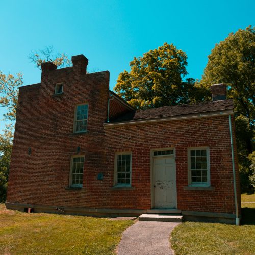
Starting at Frezee House
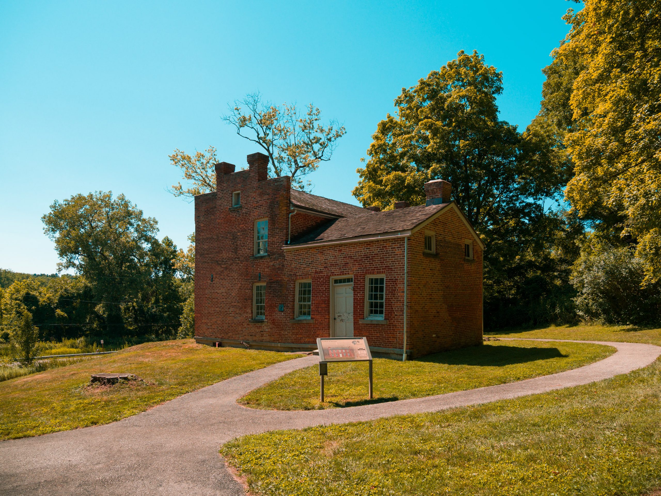
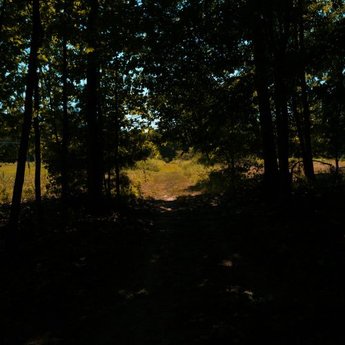
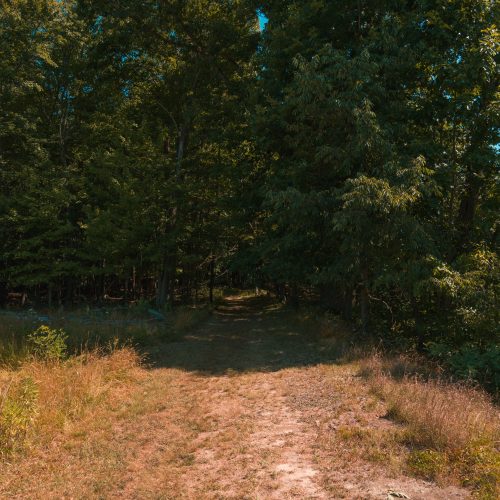
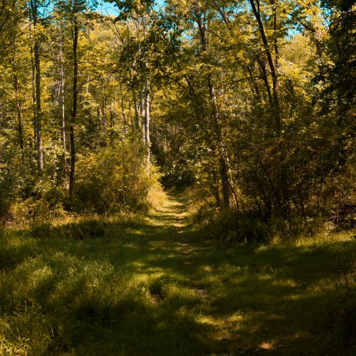
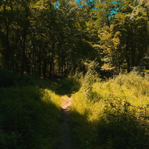
I began at Frezee House and headed east through a section of trail that felt almost forgotten. For roughly the first 2.6 miles, the route was narrow, grassy, muddy from the previous day’s rain, and in places barely wider than a single foot. Vegetation crowded the corridor closely enough that the permethrin treatment on my shoes, socks, and pants immediately felt worthwhile. Instead of worrying about every blade of grass brushing my legs, I could concentrate on the trail itself.
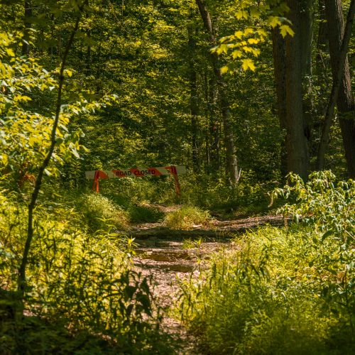
The sense of neglect was not just something I imagined. One of the few hikers I encountered in those opening miles independently commented that it felt more like bushwhacking than hiking a maintained Metroparks trail. That was exactly the impression. Bedford did not ease me in with a groomed recreational path. It dropped me onto a thin ribbon of grass that looked as though nobody had passed through in meaningful numbers for months.
The first two minor creek crossings arrived early. With a little care choosing my line, the Trail Flows kept the water out, which was encouraging without being miraculous. The water splashed against the shoes, but it never made it over the collar. Those crossings would become important later because they established the first half of the water story: the shoes were capable of keeping my feet dry through shallow water when the crossing stayed below the top of the shoe.
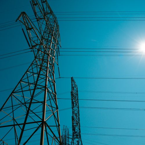
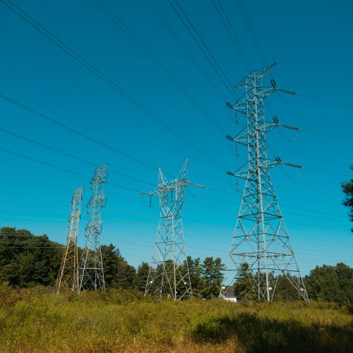
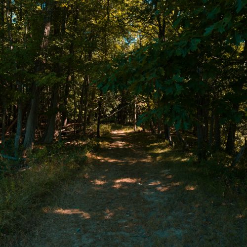
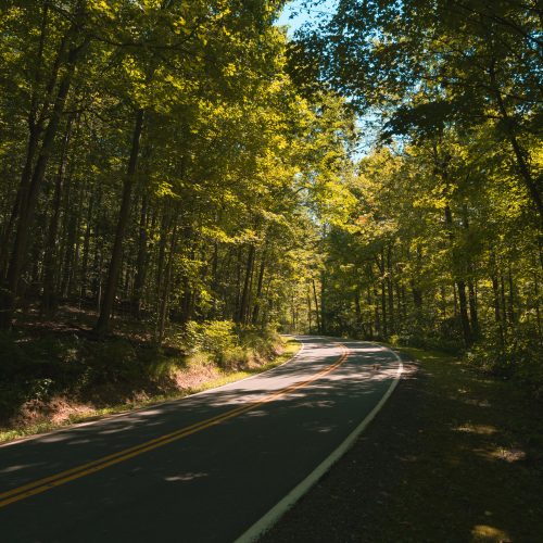
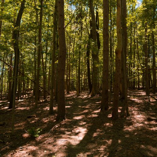
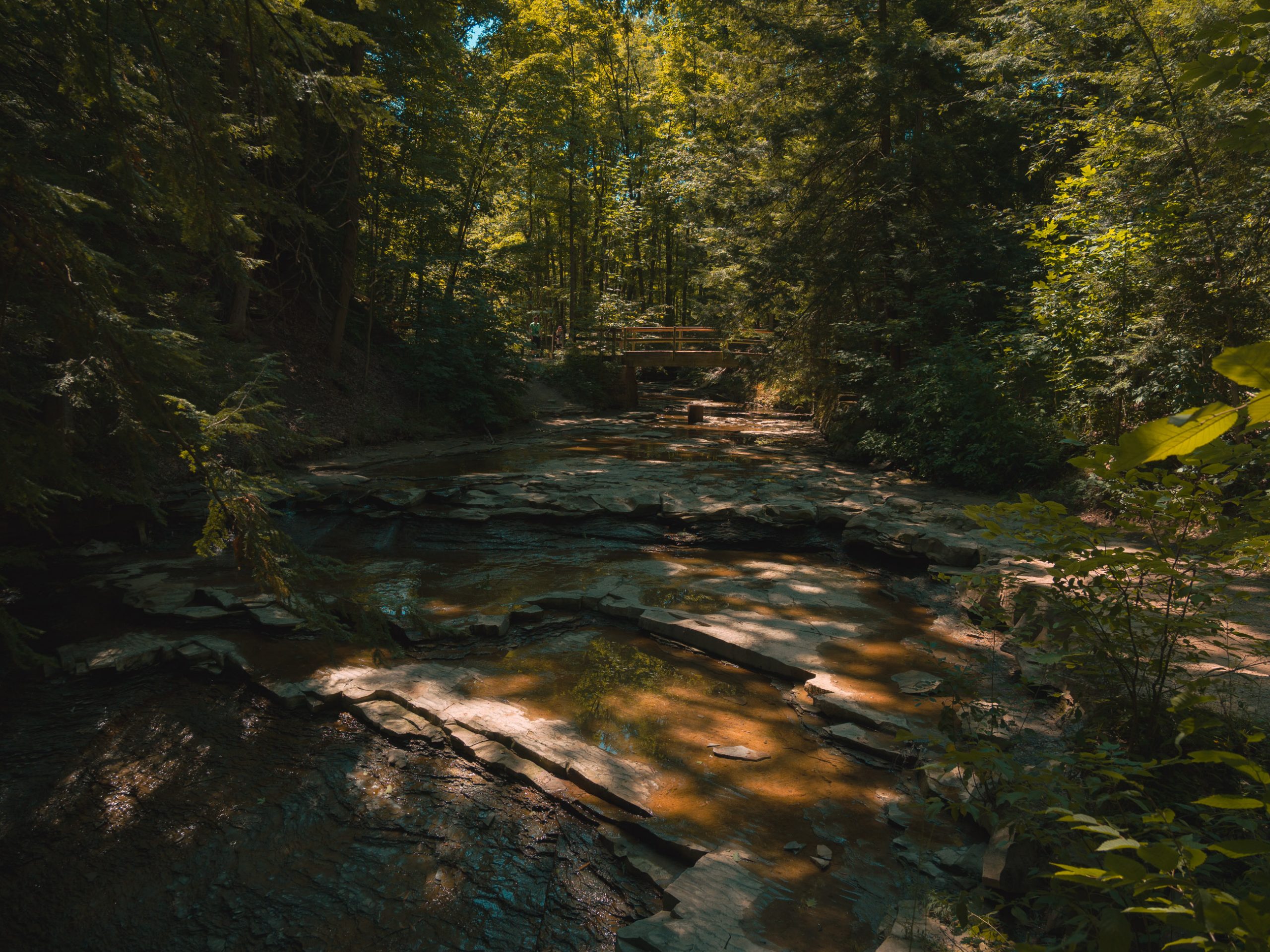
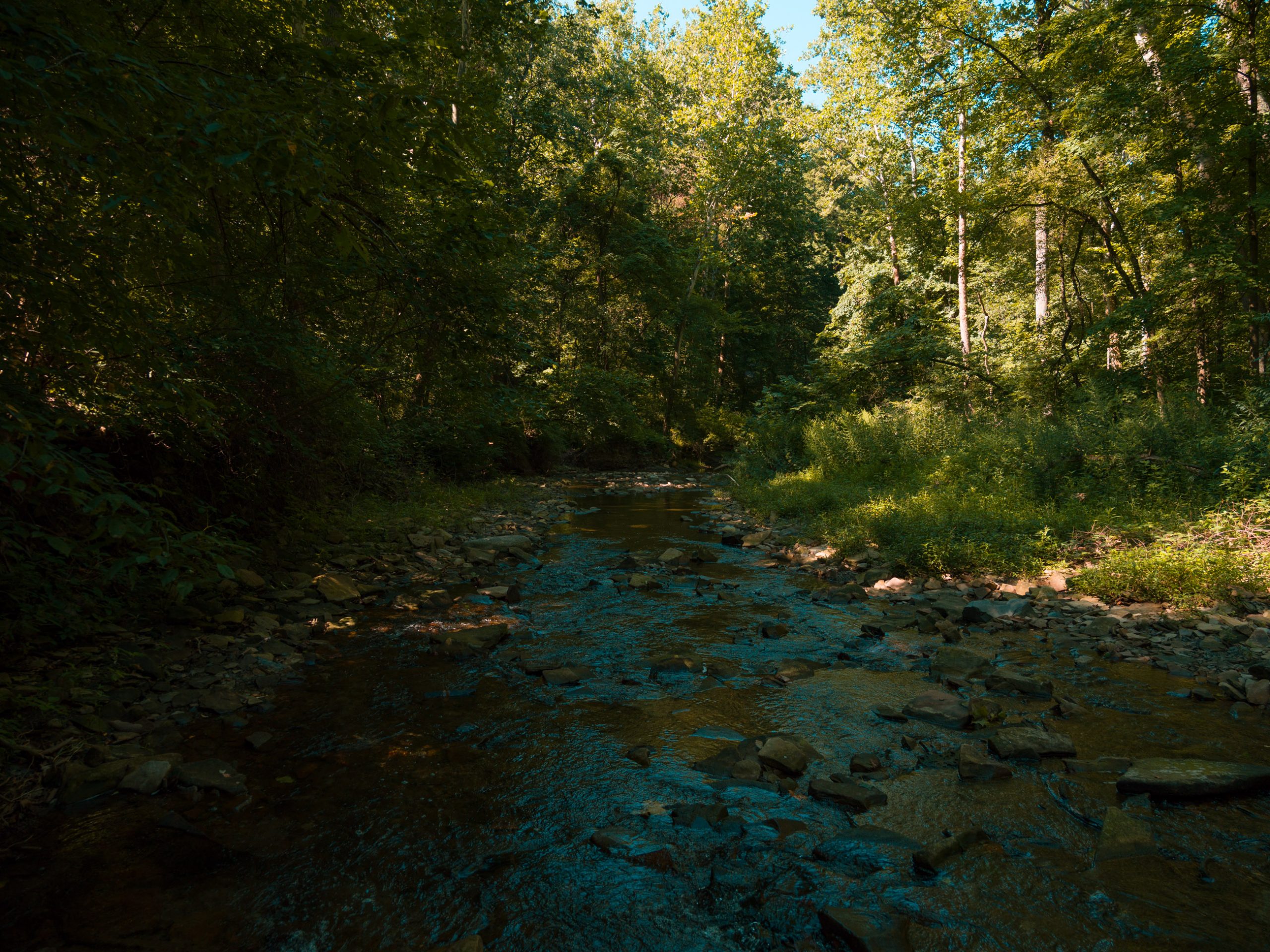 The opening stretch was predominantly deciduous forest, cool beneath the canopy and remarkably quiet considering the surrounding metropolitan area. The trail occasionally broke through road crossings and small pockets of infrastructure, but each time it quickly returned to the woods. Around mile 1.6, the forest abruptly opened into a warm meadow beneath high-tension power lines. It was a stark reminder that Bedford’s wildness exists in partnership with civilization, not apart from it.
At approximately 1.84 miles, I passed a busy parking area filled with cyclists, several of whom were smoking while riding their bicycles. I did not previously know the Bicycle Smokers Guild was a thing, but apparently Bedford is one of its regional chapters. A few minutes later, the crowds disappeared again and the trail returned to grass, mud, and quiet forest.
From Wilderness to the First Decision
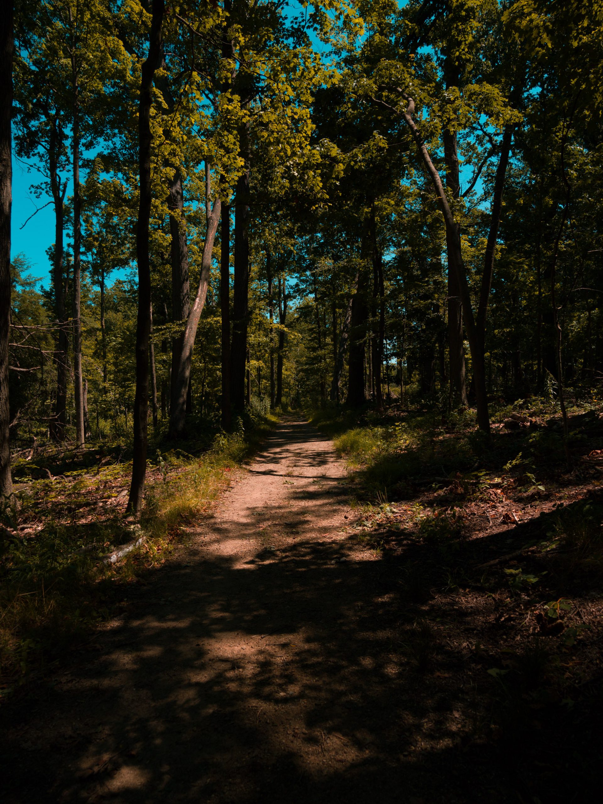
The trail began transitioning toward the larger Bedford network between miles 2.6 and 3.2. I crossed Everett Road and entered a mixed forest where conifers finally began appearing among the hardwoods. The pine-needle litter softened my footsteps and changed the entire feeling of the woods. As a child of Yosemite, I have an unreasonable emotional attachment to pine trees, so even a small conifer grove can make a Midwestern forest feel a little more like home.
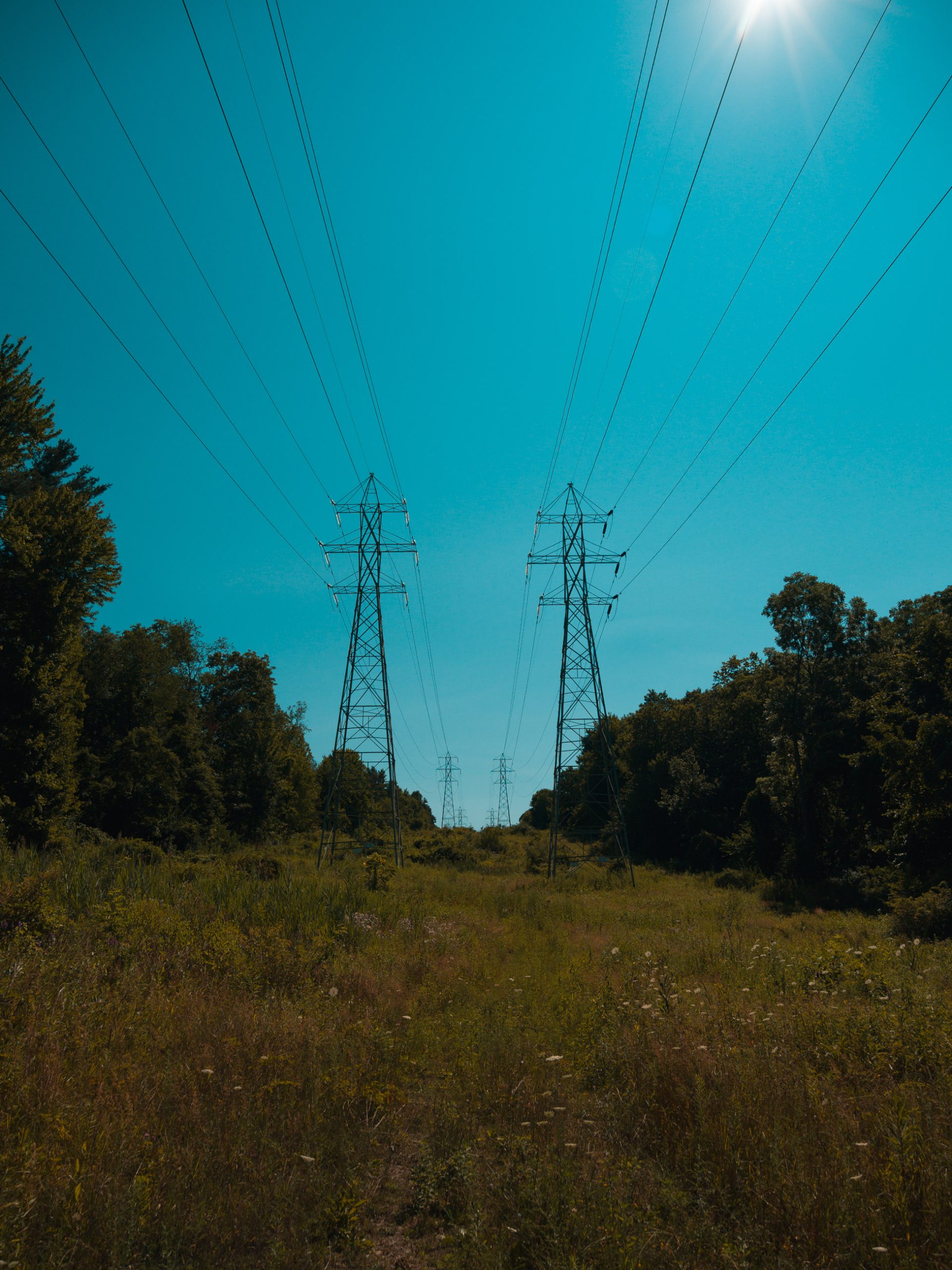
A utility meadow followed, with another stretch of transmission lines overhead and a red-tailed hawk calling somewhere in the distance. Bedford was already establishing one of its defining qualities: it never stayed in one habitat for long. Muddy bottomland gave way to meadow, meadow to mixed forest, and mixed forest to another road crossing. There was enough variety in the opening three miles that the hike felt longer and more expansive than it looked on a map.
At exactly 3.2 miles, I reached the first and really the only major fork in the route. In our hiking lexicon, every fork is a choose-your-own-adventure moment, and this one was the decision that shaped the rest of the day. I went right and headed north toward the overlooks, intentionally front-loading the section where I expected to find the most people. My hope was that visitors would concentrate around the established attractions, leaving the farther half of the loop quieter.
The decision paid off eventually, but not immediately. By mile 3.7, the trail had widened and become more conventionally walkable. Casual hikers appeared, the tread showed substantially more use, and the route began feeling like the kind of metropolitan park trail I had expected in the first place. It remained attractive and was never crowded, but I missed the overgrown, secretive quality of the opening miles. For a little while, I wondered whether Bedford had spoiled me with an incredible beginning and was now settling into something merely pleasant.
The Overlooks and Bridal Veil Falls
At the four-mile mark, hikers can cross the road to visit the Tinkers Creek Gorge Scenic Overlook. I did not take that detour, and I want to be clear about that because I am not going to review a view I did not see. There is another optional stop at Little Overlook near mile 6.4, which I also skipped. Both are available if you want to expand the route, but this hike was already becoming longer than expected.
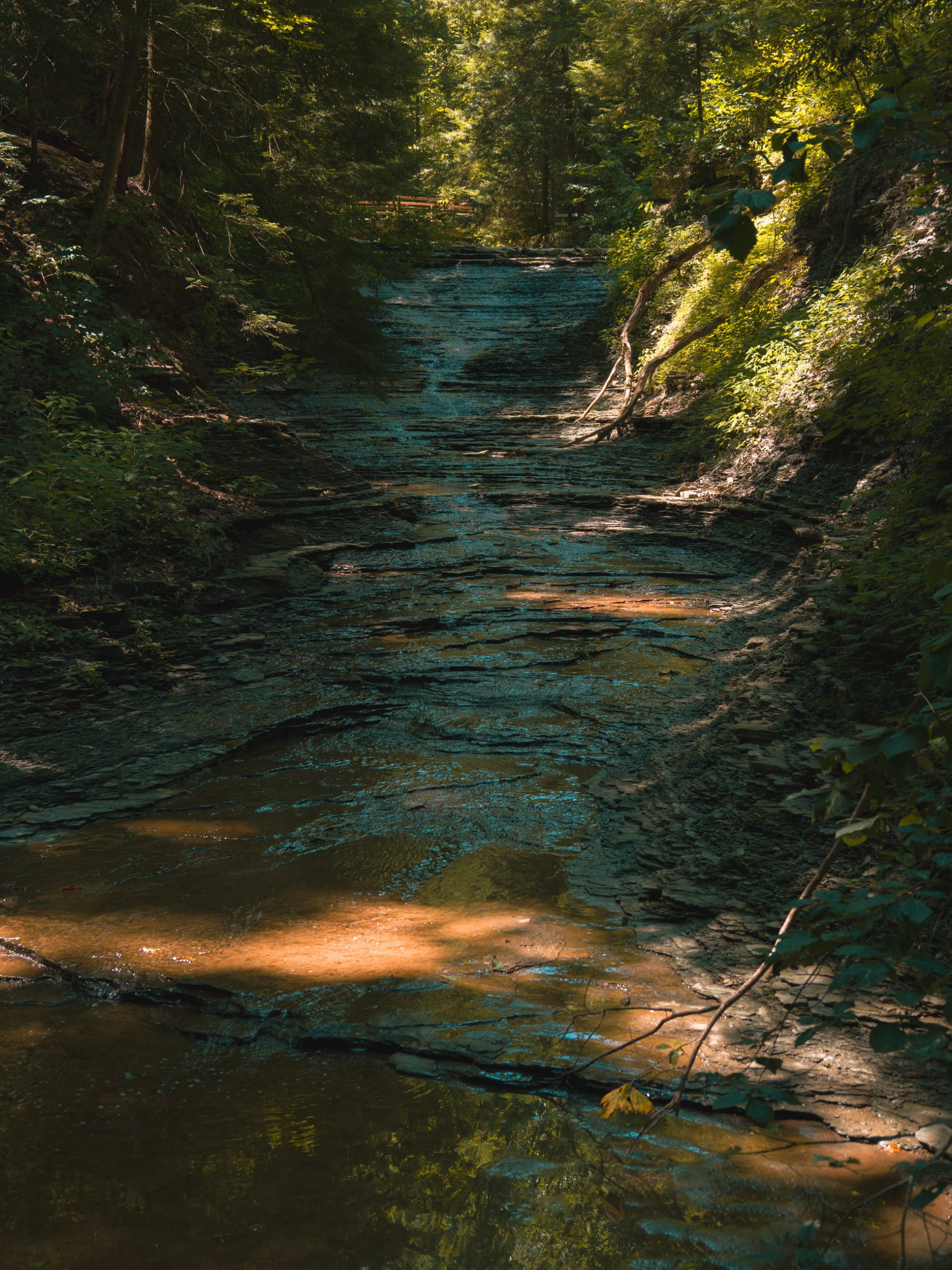
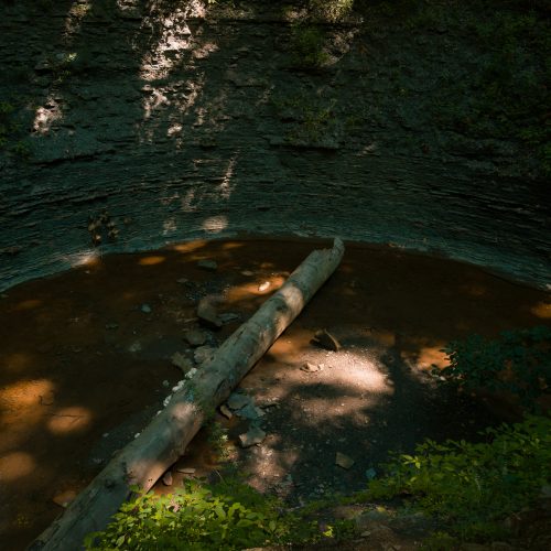
The overlook I did visit was Bridal Veil Falls at approximately 4.8 miles. Bridal Veil is one of Bedford Reservation’s established attractions, but my most memorable experience there was not standing at the formal overlook. It was testing the Trail Flows on the steep, loose shale beside the falls. The slope was sketchy enough to require deliberate footing, with fragments of shale moving underneath me on both the descent and the climb back out.
The shoes absolutely slayed it. The shale was slippery in the sense that the surface itself moved, but it still had enough texture for the tread to grab. The flexible soles allowed my feet to conform to the terrain instead of balancing stiffly on top of it, and I felt almost like Spider-Man moving across the slope. That section became one of the strongest pieces of evidence in favor of the Trail Flows. On dry, textured technical terrain, they were exceptional.
The terrain kept rolling after Bridal Veil. Bedford’s elevation profile is less like a mountain and more like a continuous sine wave. You climb, crest, descend into another drainage, and then repeat the process. There are occasional flat sections, but they are brief enough to feel luxurious. Somewhere around the middle of the hike, I reached perhaps a hundred yards of level crushed limestone and was almost overwhelmed by how easy and pleasant it felt. Then the hills resumed.
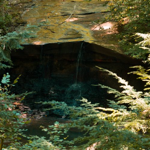
At mile 5.5, I noticed an unmapped waterfall that was easily visible from the trail. It looked remarkably similar to Blue Hen Falls, with the same broad shelf and overhanging ledge. I did not leave the route to explore it in depth, but it immediately went onto the return-trip list. Bedford’s signed attractions are worthwhile, but some of its best moments come from simply paying attention to what is hiding beyond the official stops.
Settling Into the Long Day
 By mile 6.7, I was officially beyond the halfway point and still felt good. My feet were not tired, my legs were holding up, and the only footwear annoyance had come from a tiny piece of trail debris that worked against one toe before I stopped to address it. I had brought two liters of electrolyte water, two protein bars, and two granola bars. A protein bar around 11:00 carried me through the early miles, and the quicker carbohydrates became more useful as the hike lengthened.
I had also forgotten my Apple Watch, which made the day feel strangely under-instrumented. I am accustomed to checking distance, pace, time, and elevation with a turn of the wrist. Without it, I had to reach for the phone more frequently and rely on AllTrails for telemetry. That was mildly inconvenient, although it probably encouraged me to spend more time looking at the forest and less time staring at metrics.
The Vivobarefoot shoes were becoming nearly invisible beneath me. On loose dirt, roots, gravel, and dry rock, their grip and ground feel were tremendous. The tradeoff became noticeable during descents. With so little cushioning beneath the heel, my knees absorbed more of the impact, especially when the trail dropped over roots and rocks. Shorter, quicker steps helped, as did an occasional exaggerated high-knee movement to loosen my hips and legs. I had skipped any kind of dynamic warm-up before starting, and this hike convinced me that a few minutes of movement before future long days would probably be worthwhile.
Exactly seven miles into the hike, the route dropped down a loose, approximately 25-degree grade covered in dry dirt, pebbles, and small rocks. It was the kind of surface where shoes without meaningful tread could turn every step into a negotiation. The Trail Flows remained predictable and secure, which reinforced my growing confidence in them. Then I began hearing moving water.
Crossing Tinkers Creek at Mile 7.2
At exactly 7.2 miles, I reached the first major crossing of Tinkers Creek. This was nothing like the shallow crossings from the beginning of the day. There were no convenient rocks that would keep my feet above the water and no realistic way to preserve dry shoes. The creek was moving at a healthy pace and reached roughly knee to lower-thigh depth in the deeper channel.
The first step into the current reminded me that crossing moving water is fundamentally different from walking through a shallow stream. The pressure against my legs was immediate. I turned my knees slightly upstream, widened my stance, and side-stepped across. Once the old technique came back, the crossing became controlled, but I should have deployed my trekking poles before entering. More points of contact are always better when moving water is pushing against you.
The Trail Flows filled as soon as water poured over their collars, which was not a failure. Any low trail shoe submerged in two or three feet of water is going to flood. The meaningful test began on the opposite bank. I removed the shoes, poured out the standing water, wrung out my socks, and put everything back on. The shoes were saturated, but they were hikeable.
Immediately beyond the creek, the personality of Bedford Reservation changed for the third time. The tread narrowed, grass appeared in the middle of the trail, and signs of recent foot traffic nearly vanished. Fresh bark lay across the path where it had fallen. The casual visitors around the overlooks were gone, and the river crossing appeared to have filtered out anyone unwilling to get wet.
This was exactly what I had hoped would happen when I chose the overlook route first. The early trail had been wild, the middle had become comparatively metropolitan, and now the hike was returning to something rougher and even more compelling. The back half felt a thousand times better than the section I had just left.
Miles of Solitude Beside Civilization
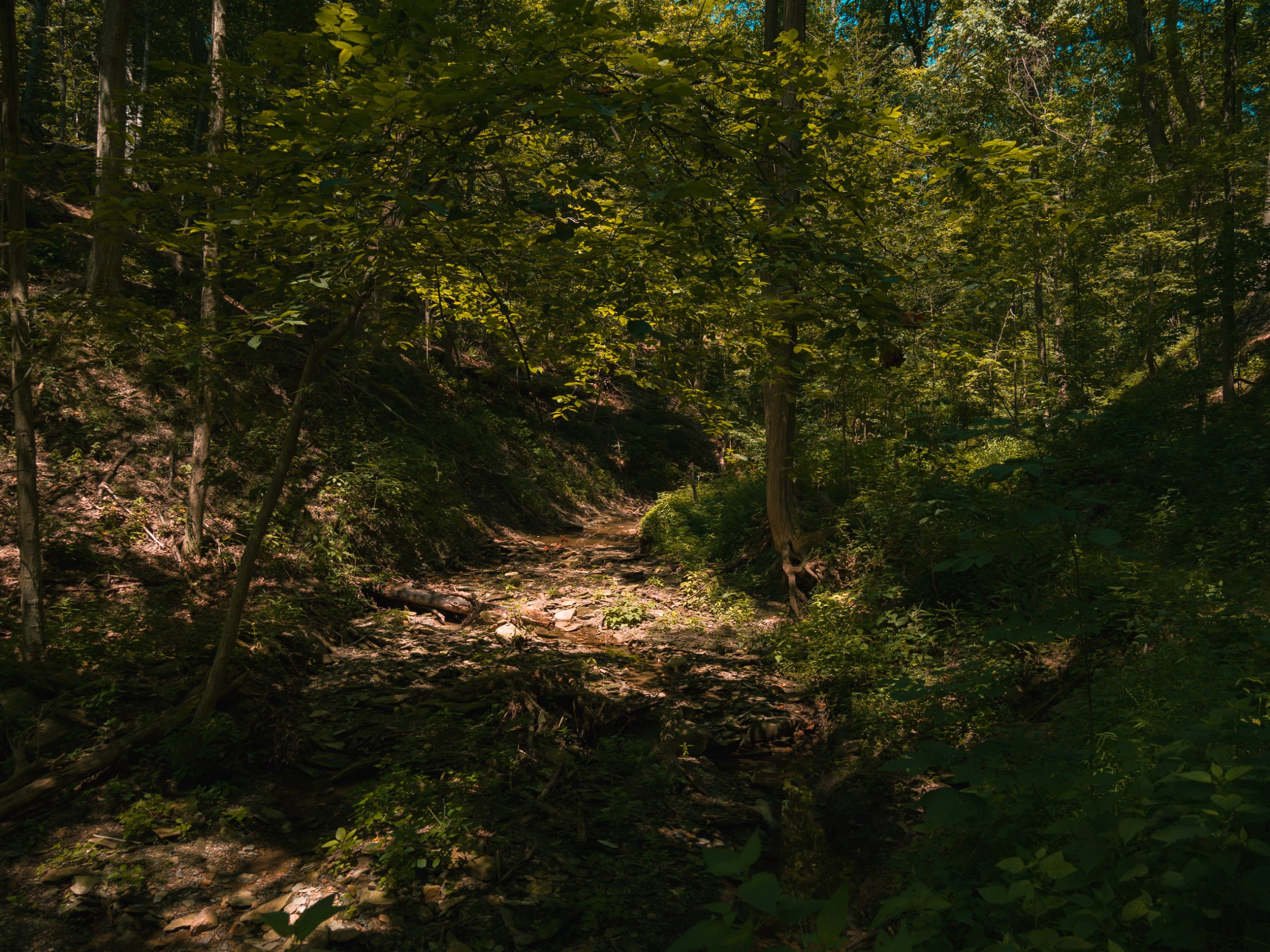 From the Tinkers Creek crossing at mile 7.2 until nearly mile 11, I did not encounter another hiker. At first the solitude was peaceful, then immersive, and eventually strange enough that I consciously noticed it. I was not frightened, and I was never pretending to be in some remote Alaskan wilderness. I was still in a Cleveland Metropark. But our brains expect to encounter somebody every ten or fifteen minutes in a metropolitan park, and when that does not happen for an hour or more, the absence begins to feel eerie.
The interesting part was that this sense of isolation continued even as the route approached civilization. Around mile 8.2, the trail emerged into a park with soccer fields and a substantial parking lot. Given the emptiness of the previous miles, I expected to discover a closed trail or some obvious reason nobody was using this side of the reservation. Everything appeared open. For whatever reason, visitors simply were not venturing far into these woods.
From roughly mile 8.2 to mile 9.2, houses and roads remained nearby. I could hear neighborhoods, occasionally see homes through the trees, and spot bicycle tracks on the trail. For about fifty yards, the route even deposited me onto a residential street before sending me back into the forest. I could only imagine what the neighbors thought as a muddy, wet hiker emerged from the trees, marched past their houses, and disappeared into the woods again.
If I had grown up beside this forest, it would have been my entire childhood. It would have contained forts, secret trails, creek kingdoms, and places with names known only to my friends. The proximity of the neighborhood made the lack of people even more surprising. Civilization was never more than a few hundred yards away, yet the trail itself felt almost abandoned.
Around mile nine, I realized it had been miles since I had seen anybody and that the quiet was beginning to feel peculiar. Shortly afterward, I heard an animal call I could not identify and promptly got my trekking poles out. There is a funny point where a hiker’s internal monologue changes from “I want complete solitude” to “perhaps one other human within screaming distance would be acceptable.” The poles were not going to defeat a woodland cryptid, but they did make me feel prepared for the terrain ahead.
The Valley and the Better Route Along Tinkers Creek
Almost exactly at mile ten, the hike began its largest single descent. Through the trees to my left, I could see the forest dropping into a deep green valley, and instead of dreading the inevitable climb back out, I became genuinely excited. Interesting terrain is why I hike. If a trail gives me a choice between an efficient utility corridor and a beautiful descent into a creek valley, I want the valley every time.
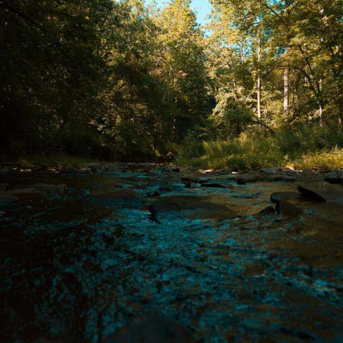
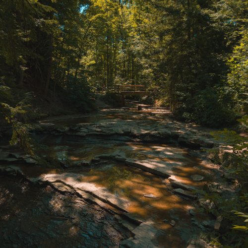
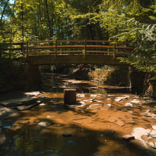
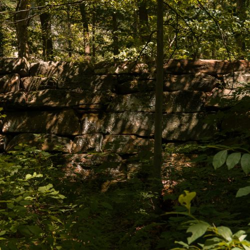
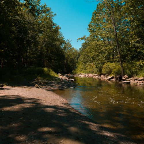
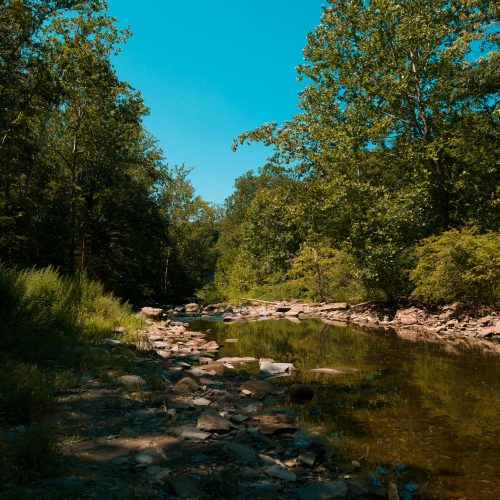
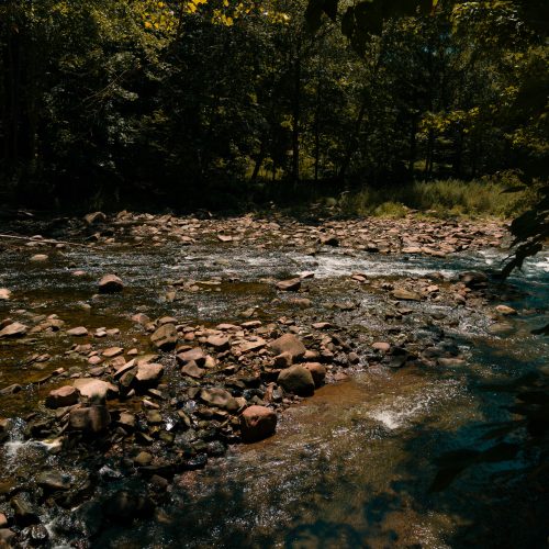
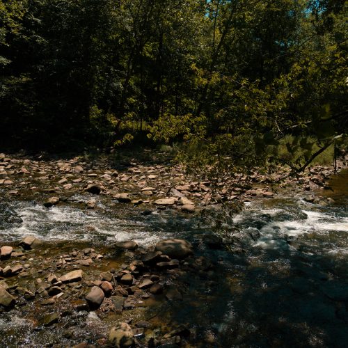
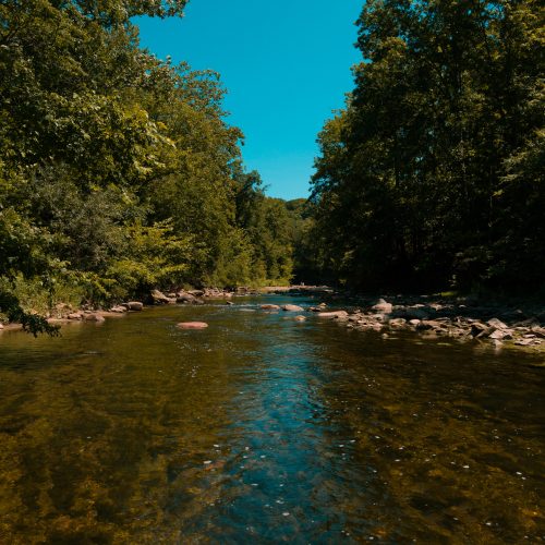
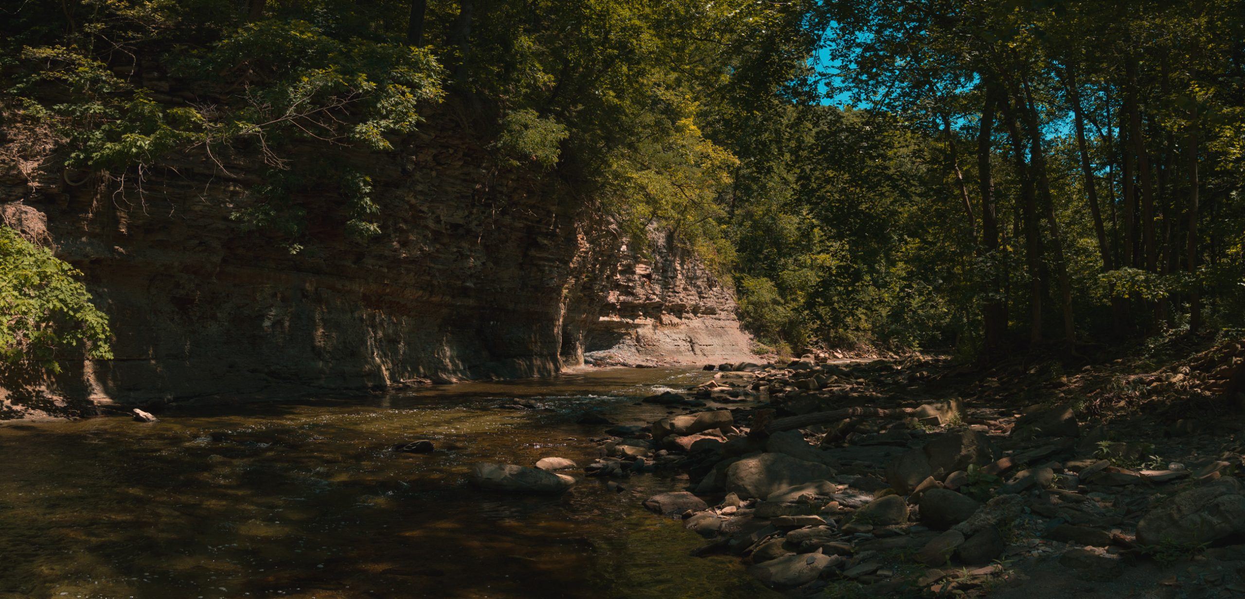
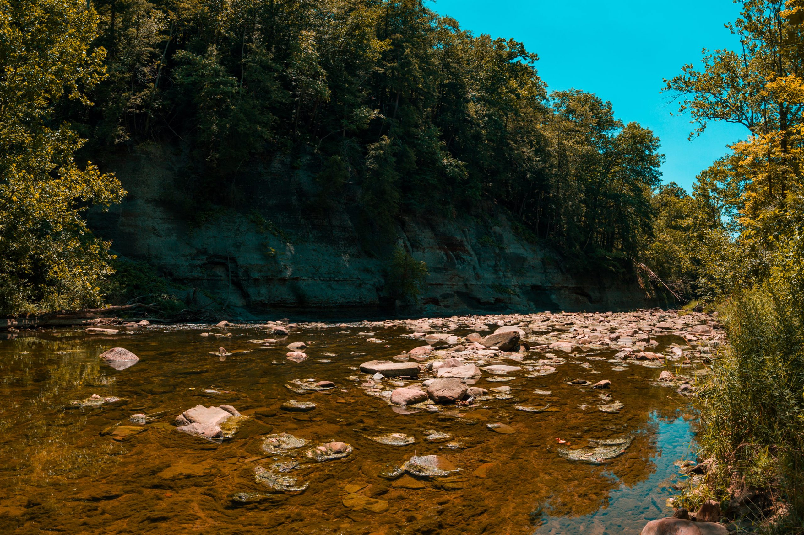
The bottom delivered one of the best landscapes of the day. Tinkers Creek spread across a broad rocky corridor beneath a layered sandstone bluff. The water was clear enough to see stones and rock shelves below the surface, and sunlight sparkled across the moving current. After ten miles of rolling forest, the view suddenly gave the hike a much larger scale.
This is also where I would deliberately improve the AllTrails route. Around mile 10.4, the Bridal Trail splits. The northern branch transitions into the Hemlock Loop Trail, which is where the mapped route wants you to go. Instead, take the southern spur of the Bridal Trail toward Tinkers Creek.
The Bridal Trail keeps you substantially closer to the water. On a sunny summer afternoon, the light filtering through the trees and reflecting off the creek made this one of the most photogenic sections of the entire hike. Some of my favorite photographs from the day came from this area. I completed only part of the little waterside variation, but I saw enough to know which route I would choose next time.
I am not trying to pick a fight with AllTrails, but what the fuck is the point of hiking beside a beautiful creek if you intentionally choose the trail that keeps you away from it? The shortest or most efficient line is not automatically the best hiking experience. Unless time or conditions require otherwise, take the Bridal Trail and stay beside the water.
The Second Tinkers Creek Crossing
At almost exactly mile 11, Tinkers Creek demanded a second major crossing. This time I deployed both KingGear trekking poles before entering, and the difference was immediate. With four available points of contact, I could plant the poles upstream, move one foot at a time, and maintain a much more stable relationship with the current. The river had not become easier; I had improved my technique and brought the correct tools.
The water again reached roughly knee to lower-thigh depth, and the shoes again filled completely. On the far bank, I poured what felt like multiple cups of water from each shoe like something out of a cartoon. This time, however, I deliberately left my socks saturated. I wanted to know whether the shoes would gradually evacuate that moisture as I continued hiking.
They did not. Every step made an audible sloshing noise, like wearing a pair of Davy Crockett’s skin-hide water pouches strapped to my feet. The standing water diminished very little as the miles passed. This was a genuine failure point for the Trail Flows—not that water entered during a thigh-deep ford, but that the water stayed after I got out.
The moisture also changed the friction properties inside the shoes. My heels remained locked in place, which was impressive, but after prolonged hiking in saturated socks, the lower edges of my heels began to feel a little raw. I do not consider that evidence of poor design, though. The fit remained secure; the wet environment simply allowed enough internal movement and skin softening to create irritation over several miles.
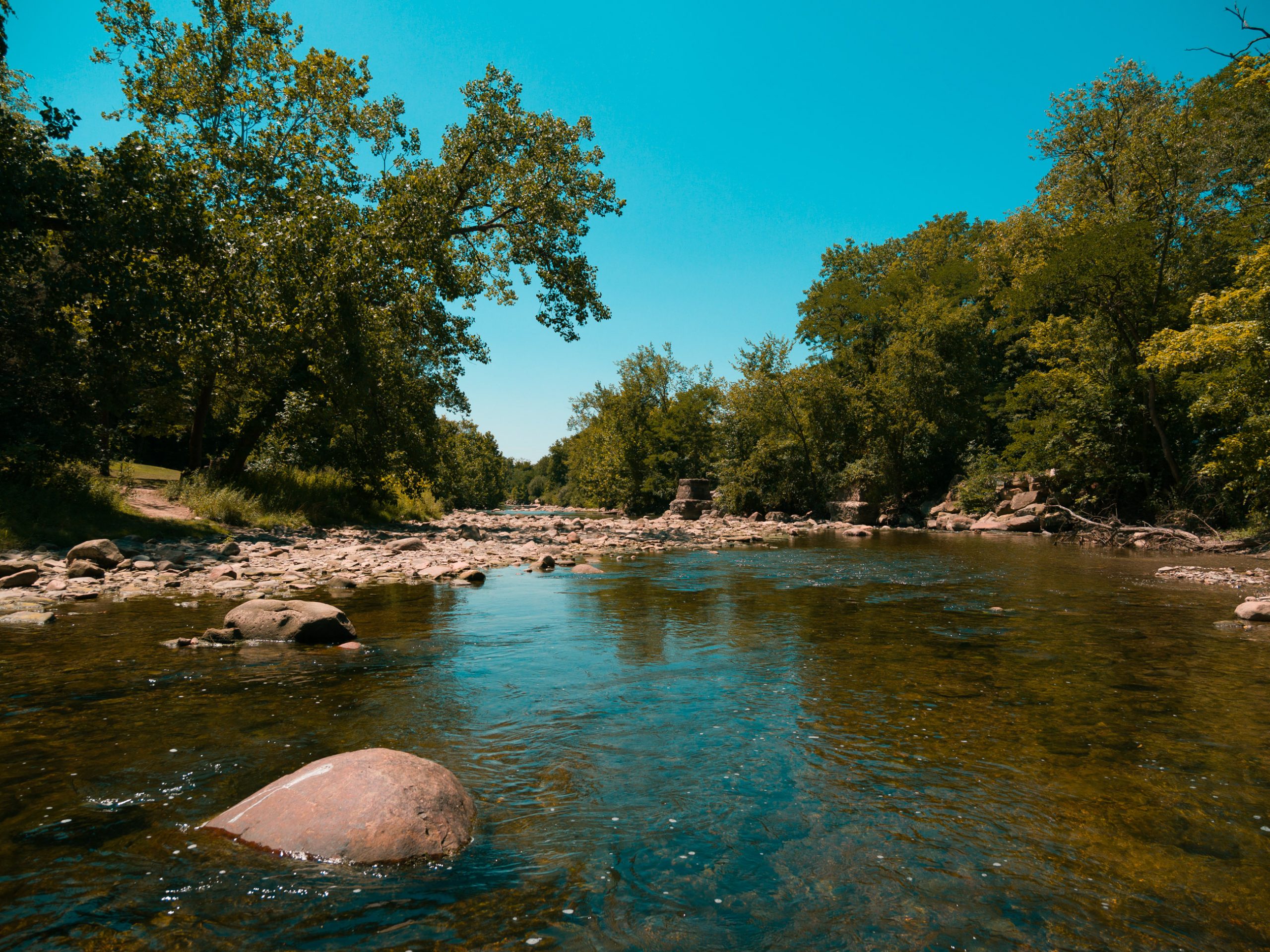
The later crossings reinforced how narrow the margin can be between staying dry and flooding a low shoe. A smaller crossing that had kept the water out earlier in the day had risen by perhaps half an inch by the time I returned. That tiny difference was enough for water to crest the collar. From that point forward, every remaining crossing was wet, bringing the day’s total to six.
Eventually I stopped, removed the shoes, poured out approximately another quarter cup of water, and wrung my socks as thoroughly as possible. The improvement was immediate. The shoes were still wet, but they were no longer sloshing, and my feet felt dramatically better. That was hiker intervention, not successful drainage by the shoe, and the distinction matters. I solved the problem by manually removing the water the design had retained.
The five-minute maintenance stop gave me an unexpected second wind. I had been worried that sitting down would cause my joints to tighten and my muscles to lock up. Instead, getting the pressure off my feet, wringing the socks, and breathing for a few minutes restored enough energy to make the final mile feel substantially easier. Future long hikes will include short maintenance stops before I reach the point where I think I cannot afford one.
Closing the Loop
At approximately mile 11.7, I rejoined the route that had brought me into Bedford and mentally shifted from exploration to the home stretch. The familiar trail junction where I had turned right hours earlier was now only a few hundred feet away. Closing that loop felt like returning to the place where the day’s real adventure had begun, except I was carrying eleven miles of creek water, trail dust, and new gear opinions with me.
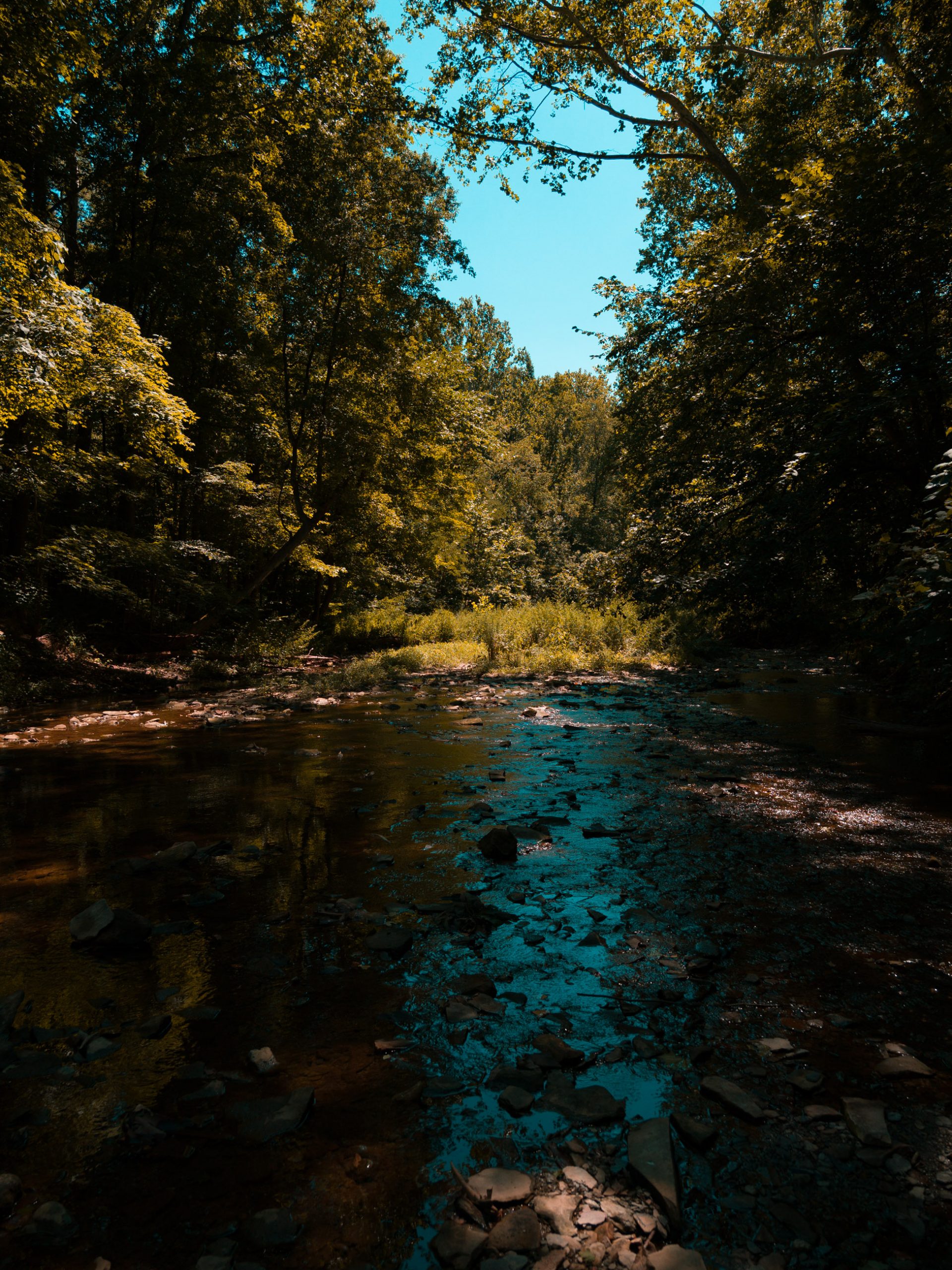
The hike still had one psychological trick left. I believed I had roughly two miles remaining, only to discover that the route cheerfully insisted there were closer to three. My legs did not change when I saw the number, but morale briefly filed a formal complaint. The familiar road crossings returned one after another, and I eventually put the trekking poles away. Their work was finished.
At exactly thirteen miles, I crossed a road for the final time and stepped back onto the original overgrown trail. That grassy corridor felt completely different on the return. In the morning, it had been an unexpectedly wild introduction. Now it felt like home. The roads were behind me, the forest had reclaimed the route, and the rest of the hike would be quiet trail all the way to Frezee House.
The final obstacle was a muddy area that had become even softer as water settled into it throughout the day. Avoiding the worst section pushed me toward the vegetation at the side, where I stepped into what appeared to be poison ivy. Even after nearly fifteen miles, Bedford found one last way to send me home with a problem to solve.
I finished with 14.86 miles, 1,243 feet of elevation gain, 4:54:41 of moving time, and 5:26:23 total. My average pace was 19:50 per mile despite photography stops, road crossings, six creek crossings, gear adjustments, and a substantial amount of time spent making scientific observations about waterlogged socks. The calorie estimate came in at an absurd 2,556.
I would not call this route truly hard, but “moderate” undersells it. No single obstacle is technically extreme. The difficulty comes from stacking almost fifteen miles, relentlessly rolling terrain, loose descents, mud, repeated water crossings, and more than five hours of movement into one day. Moderate-plus or moderately strenuous feels more honest.
The first half of Bedford Reservation got my attention. The second half completely won me over. When I returned home, the part I immediately wanted to tell Joy about was not the official overlooks or the mileage. It was the quiet stretch beyond the first Tinkers Creek crossing, the eerie absence of other hikers, the sandstone bluff, and the sunlight sparkling across the water beside the Bridal Trail.
Gear Review
Vivobarefoot Trail Flow
The Vivobarefoot Trail Flow earned four out of five stars across the entire hike. On dry technical terrain, it may be one of the best shoes I have ever worn. Loose scree, textured shale, roots, dirt, steep climbs, and unstable descents all played to its strengths. The zero-drop platform and flexible sole allowed my feet to conform to the landscape, while the tread found purchase anywhere the surface offered texture. The heel lockdown remained excellent, and after nearly fifteen miles I never felt as though the barefoot construction itself had beaten up my feet. The tradeoff was more impact reaching my knees on extended descents, but that was manageable with shorter strides and deliberate technique.
The weakest surface was smooth, submerged, algae-covered rock. In that environment, the Trail Flows approached ice-skate territory. To be fair, flowing water over mossy stone is one of the worst possible traction tests for any shoe, but the firmer outsole compound did not inspire confidence there. If the rock had texture, the tread could latch onto it. If it was smooth, submerged, and covered in organic slime, grip dropped dramatically.
The bigger concern was water retention. I am not criticizing the shoes because water entered during a knee- or thigh-deep crossing. That would be ridiculous. The failure was what happened afterward. Once flooded, the shoes held enough water to slosh audibly for miles, even after I dumped out the obvious standing water. They became comfortable again only when I intervened by removing them and wringing out the socks. If your hiking frequently includes deep fords, carry a second pair of socks and expect to stop after each crossing. The practical routine is simple: dump the shoes, wring the socks, and do not assume continued walking will solve the problem.
My final hesitation is value. The Trail Flow is an exceptional specialized trail shoe, but at approximately $220, I am not convinced it is a $220 shoe. At $130 to $150, I would recommend it much more enthusiastically. The technical performance is outstanding, the fit is excellent, and the nearly fifteen-mile comfort was legitimate. The wet-rock grip, water retention, and premium price are the reasons it stops at four stars instead of five.
KingGear 7075 Aluminum Trekking Poles
The KingGear 7075 aluminum trekking poles graduated from “something I carry just in case” to part of my standard hiking kit. They were light enough to disappear on the pack when I did not need them, yet immediately valuable on loose descents, steep climbs, and creek crossings. I began the hike reluctant to expend the extra energy required to swing them all day, which remains a reasonable choice. Trekking poles are tools, not a uniform, and I prefer deploying them when the terrain justifies the effort.
The second Tinkers Creek crossing demonstrated exactly why they belong in the kit. Facing into the current with both poles planted gave me four available points of contact and made the ford dramatically more controlled than the first. Their 7075 aluminum construction feels like a good match for rocky terrain, where toughness and resistance to impact matter more to me than saving another fraction of an ounce. They are not a glamorous piece of equipment, but they worked every time I asked them to and stowed easily when I did not. That is about the highest compliment I can give hiking gear.
Moose Hill Roll-Up Hiking Pants
The biggest gear surprise of the day was not the shoes. It was a $39.99 pair of Moose Hill hiking pants. The specific model is the Moose Hill Men’s Lightweight Quick-Dry Hiking Pant with six mesh vents, water resistance, four-way stretch, and an internal snap system that holds the cuffs just below the knee. The roll-up design provided nearly the same utility as convertible pants without placing zippers around my thighs.
Combined with knee-high socks, these may be my ideal hiking pants. They protected my legs from brush, thorns, mud, and potential ticks, yet remained light enough that I never wished I had worn shorts. They dried quickly after repeated creek crossings, had belt loops—which I unapologetically love—and every important pocket closed with a zipper. Two front pockets and two rear pockets meant that nothing was falling out while I climbed, descended, or stepped through moving water.
Hiking culture has a serious fixation on short shorts, followed immediately by advice to carry lightweight tights for camp, cold weather, insects, or brush. At that point, where exactly did the advantage go? My Moose Hill pants weigh roughly what I would expect from a shorts-and-leggings system while providing full-time protection, secure storage, and the option to roll the cuffs up whenever I need more ventilation or clearance. After fifteen miles, I never found the compromise I had expected from a forty-dollar pair of pants.
Peak Design Capture Clip
The Peak Design Capture Clip was the one piece of equipment that became actively uncomfortable. Carrying an OM-1 Mark II with the 12–100mm f/4 PRO puts roughly two and a half pounds onto a concentrated point on the backpack strap. That felt acceptable for the early miles. By approximately mile nine, the clip had migrated downward and the metal plate was pressing into the left side of my chest. After mile ten, that pressure point became soreness.
I managed a temporary trail fix by repositioning the clip and tightening the upper load-lifter straps on my Osprey 24-liter pack, which raised the harness and relieved some of the pressure. I hope the permanent adjustment will be to mount the Capture Clip above the sternum strap and move it to the right shoulder. Raising it should change the pressure point, while moving it right will free the left-side bungee system designed for quickly stowing the trekking poles. I did not realize until this hike that the camera clip was blocking that entire workflow.
This was not evidence that the Capture Clip is useless – I absolutely love this clip, but it was evidence that a setup can feel perfect for five miles and reveal an ergonomic problem after ten. That is why I value a good shakedown hike. They replace assumptions with evidence.